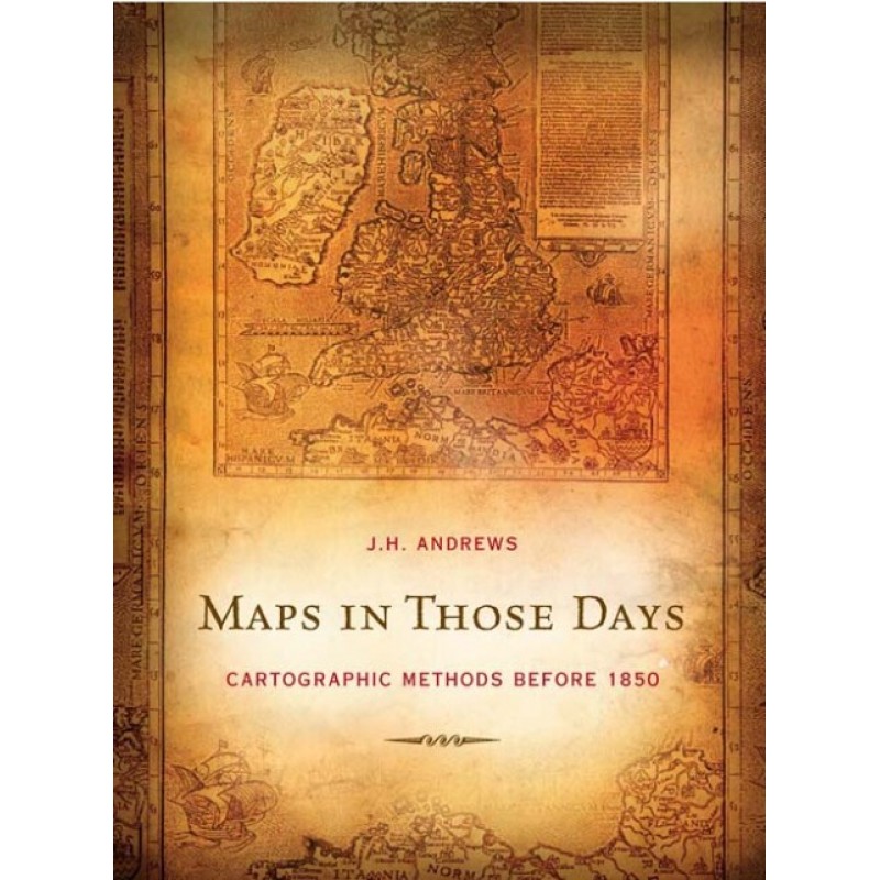
Description
Before satellites, GPS, and digital drafting tools, creating an accurate map required a brilliant mix of mathematics, physical endurance, artistry, and raw intuition. In Maps In Those Days: Cartographic Methods Before 1850, acclaimed geography historian J.H. Andrews provides a definitive, accessible look at the practical techniques used by early modern surveyors and mapmakers.
The text guides readers through the historic instruments, measurement practices, and drafting styles that defined the golden age of paper cartography. Andrews explores the immense hurdles faced by field surveyors dealing with rugged terrain, weather, and primitive tools, while analyzing how changing political and commercial demands shaped the look of maps. It is an indispensable guide for anyone fascinated by the intersection of science, history, and art.
Fascinating takeaways for antique map collectors:
-
Technical Heritage Insights: Offers clear breakdowns of historic measurement tools, chain surveying methods, and early printing processes.
-
Expert Academic Voice: Written by J.H. Andrews, widely recognized as one of the premier authorities on early modern cartography.
-
Archival Design Material: Perfect for historical researchers, map collectors, and anyone looking to understand the mechanics of vintage charts.
Only logged in customers who have purchased this product may leave a review.
Reviews
There are no reviews yet.