
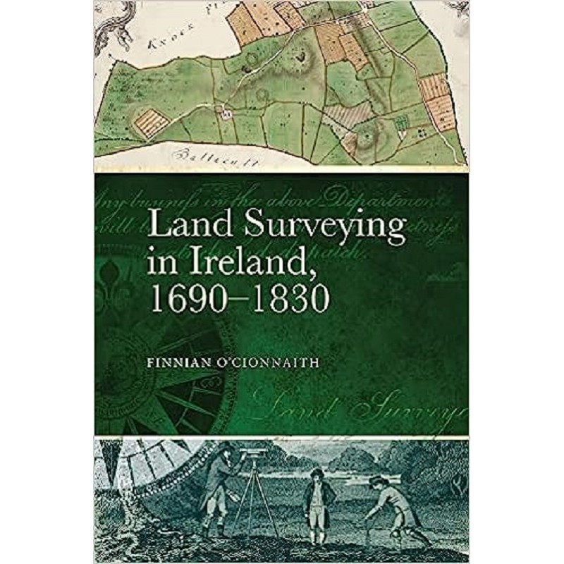

Description
In early modern Ireland, drawing a line on a map was a deeply political act of power and ownership. Land Surveying in Ireland, 1690-1830: A History offers a brilliant, highly specialized exploration of the golden age of Irish cartography and estate surveying following the mass land confiscations of the 17th century.
This meticulously researched volume details the technical methods, instruments, and social status of the surveyors who traversed the countryside mapping out the properties of the Protestant Ascendancy. The book illustrates how these individual estate maps served as essential tools for colonial administration, agricultural improvement, and urban planning. It is a unique, eye-opening study that merges science, geography, and social history to show how the physical landscape was carved up and recorded.
Fascinating takeaways for cartography and geography lovers:
Technical and Social History: Explores the physical surveying tools, mathematical methods, and daily working lives of historic mapmakers.
Stunning Visual References: Packed with reproductions of beautiful, intricate 18th-century hand-drawn estate maps and title plans.
Invaluable Regional Context: Provides deep foundational knowledge for local history buffs studying early modern townland borders and property lines.





Reviews
There are no reviews yet.