Description
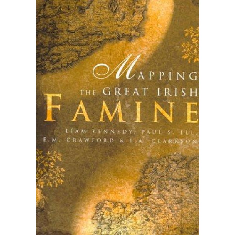
To fully comprehend the scale of the Great Hunger, one must visualize how it swept across the island, transforming individual townlands, workhouses, and ports. Mapping The Great Irish Famine stands as a monumental publishing and historical achievement, presenting the tragedy through highly detailed spatial mapping and demographic analysis.
This definitive atlas layout visualizes key metrics from the pre-Famine era through the dark decade of the 1840s. Readers can track regional crop failures, population decline, immigration pathways, and the local distribution of emergency relief and soup kitchens. Accompanied by expert historical commentary, this volume strips away historical abstractions, providing a stark, unforgettable graphic testament to the localized impact of starvation, eviction, and mass flight.
Why this historical atlas is a vital reference tool:
-
Unprecedented Spatial Mapping: Translates complex historical records and regional statistics into clear, powerful demographic maps.
-
Micro-Level Regional Detail: Allows researchers to track population drops, workhouse locations, and relief efforts down to specific counties.
-
Indispensable Reference Quality: An absolute cornerstone volume for serious history shelves, libraries, and genealogical research centers.
Only logged in customers who have purchased this product may leave a review.











Reviews
There are no reviews yet.