

Description
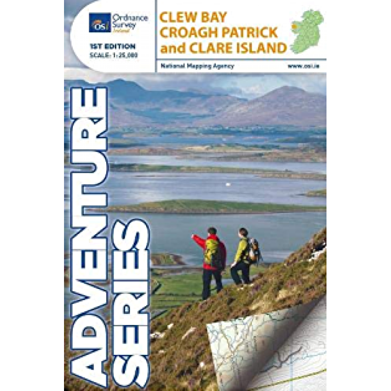
Whether you are planning a historic pilgrimage up the quartz slopes of Croagh Patrick, exploring the pirate queen trails of Clare Island, or sea kayaking across the drowned drumlins of Clew Bay, accurate navigation is your absolute foundation for safety and discovery. The Clew Bay, Croagh Patrick and Clare Island OS Adventure Map delivers an exceptionally clear, functional layout built specifically for outdoor enthusiasts.
Produced by Ordnance Survey Ireland, this high-durability map features detailed contour lines, precise trail markers, and localized terrain data that standard digital maps miss. Written with direct clarity, it highlights essential points of interest, including archaeological monuments, local loop walks, camping spots, and transport links. It stands out as a compelling, page-turning choice for hikers, mountaineers, and coastal walking enthusiasts.
Why this adventure map is essential for your next trip:
Unrivaled Cartographic Accuracy: Detailed scaling and contour tracking ensure you can navigate mountain paths and coastal trails with absolute confidence.
Rich Heritage Markers: Clearly identifies historic ruins, holy wells, ancient castles, and local cultural points of interest across Mayo.
Built for the Elements: Crafted with a clear, highly scannable layout that makes pulling out and reading route paths straightforward and low-effort in any weather.




Reviews
There are no reviews yet.