Description
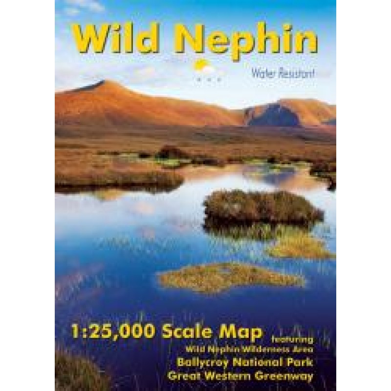
The Wild Nephin – Water Resistant Map by EastWest Mapping is a specialist cartographic guide created for walkers, hikers, and outdoor explorers navigating the rugged landscapes of northwest County Mayo.
Covering the vast Wild Nephin National Park, including the Nephin Beg mountain range, Ballycroy National Park, Bangor Trail, Western Way, and sections of the Great Western Greenway, the map provides a comprehensive and highly detailed representation of the region. It is designed at a 1:25,000 scale, offering precise terrain detail where 1 cm on the map represents 250 metres on the ground, with 10-metre contour intervals for accurate elevation reading.
Printed on durable, water-resistant Enduro paper, the map is built specifically for harsh outdoor conditions, making it suitable for long-distance hiking, multi-day treks, and wilderness exploration in unpredictable Atlantic weather. Its robust construction ensures usability even in rain, wind, and rugged terrain.
One of the key strengths of this map is its detailed inclusion of local placenames and lesser-known landscape features, many of which are based on field research and local knowledge. This makes it especially valuable not only for navigation but also for understanding the cultural and geographical heritage of the Nephin region.
The Wild Nephin area itself is one of Ireland’s most significant wilderness zones, covering approximately 15,000 hectares of protected bogland, mountain, and forest habitats. It is known for its remote beauty, biodiversity, and expansive peatland systems, offering walkers a rare experience of true solitude in nature.
Ideal for hikers, map collectors, and outdoor professionals, this EastWest Mapping edition combines technical accuracy with field-tested practicality, making it an essential companion for anyone exploring Ireland’s Wild Atlantic wilderness.
Only logged in customers who have purchased this product may leave a review.






Reviews
There are no reviews yet.