

Description
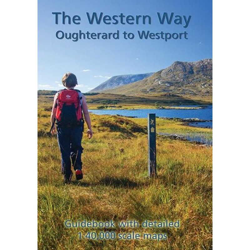
The Western Way Map Guide (1:40,000) by Barry Dalby, published by EastWest Mapping, is a comprehensive guidebook designed for walkers exploring the southern section of the Western Way, one of Ireland’s premier long-distance hiking routes.
The full Western Way extends approximately 235 kilometres (146 miles) from Oughterard on the shores of Lough Corrib through Connemara and County Mayo to the Mayo–Sligo border near Bunnyconnellan. This guide focuses on the most frequently walked 101-kilometre (63-mile) stretch between Oughterard and Westport, with a total ascent of approximately 1,800 metres.
The guidebook includes:
- Twelve full-colour strip maps at a detailed 1:40,000 scale
- An additional map for the Killary Famine Road walk
- Clear route descriptions and navigation guidance
- Information on local history, natural heritage, and points of interest
- Practical details on services and facilities along the route
The maps and accompanying text are arranged sequentially to match the walking direction from Oughterard to Westport, making navigation straightforward for both experienced hikers and first-time long-distance walkers. The compact 32-page guidebook is supplied in a protective plastic wallet, making it convenient to carry in outdoor conditions.
Originally published in 2016 and revised in a second edition (2021), the guide incorporates route updates while maintaining EastWest Mapping’s reputation for accurate cartography and field-checked mapping. It combines reliable navigation with informative commentary on the landscapes, villages, and heritage encountered along the way.
Ideal for walkers, hikers, outdoor enthusiasts, and visitors to the west of Ireland, The Western Way Map Guide is both a practical navigation aid and an informative companion for discovering the spectacular scenery and cultural heritage of Connemara and County Mayo.






Reviews
There are no reviews yet.