

Description
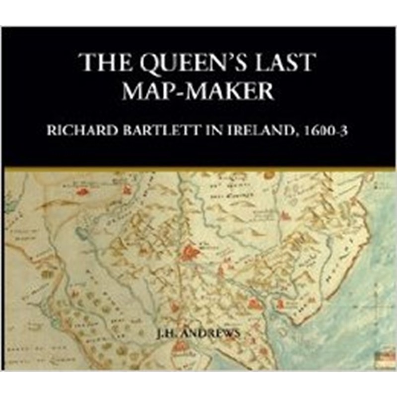
The Queen’s Last Map-Maker: Richard Bartlett in Ireland, 1600–3 by J. H. Andrews is the definitive study of one of the most important yet least-known cartographers of Elizabethan Ireland. Published by Geography Publications, the book explores the life, work, and legacy of Richard Bartlett, the military engineer and topographical artist who accompanied English forces during the closing years of the Nine Years’ War (1594–1603).
Although relatively little is known about Bartlett’s personal life, his surviving maps and panoramic drawings rank among the finest visual records of Ireland at the beginning of the seventeenth century. Andrews examines between nineteen and twenty-seven surviving maps and illustrations, many of which depict fortifications, towns, castles, landscapes, and military campaigns with exceptional detail and artistic skill.
The book explores a wide range of subjects, including:
- Richard Bartlett’s career as a military cartographer
- The mapping of Ireland during the reign of Queen Elizabeth I
- The geography and military campaigns of the Nine Years’ War
- Early seventeenth-century towns, castles, and fortifications
- The development of Irish cartography before the Ordnance Survey
- Bartlett’s artistic techniques and surveying methods
- The historical significance of his maps for modern researchers
Building on earlier scholarship, particularly the pioneering work of Gerard Hayes-McCoy, Andrews reassesses Bartlett’s surviving work in light of new discoveries and modern research. Special attention is given to Bartlett’s lesser-known regional maps, many of which had previously received little scholarly analysis. The author places these remarkable documents within the wider context of Elizabethan military expansion and the English administration of Ireland.
Beautifully produced in a large-format hardback edition, the book contains numerous full-colour reproductions of Bartlett’s original maps and drawings alongside detailed commentary explaining their historical, geographical, and artistic significance. These illustrations provide readers with a vivid picture of Ireland’s landscape, settlements, and military infrastructure during one of the country’s most turbulent periods.
J. H. Andrews, one of Ireland’s foremost historians of cartography, combines decades of research with an accessible writing style, making this volume valuable to both specialists and general readers. His careful analysis demonstrates how Bartlett’s work remains an indispensable source for understanding early modern Ireland and the evolution of mapmaking.
Ideal for readers interested in Irish history, historical cartography, the Nine Years’ War, Elizabethan Ireland, military history, and early mapmaking, The Queen’s Last Map-Maker is an essential reference on one of Ireland’s greatest early cartographers and the remarkable visual record he left behind.





Reviews
There are no reviews yet.