

Description
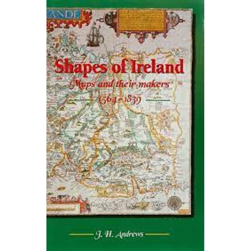
The visual representation of the Irish landscape on paper was a high-stakes process deeply tied to military conquest, taxation strategies, and colonial plantation layouts. Shapes of Ireland – Maps and their makers 1564-1839 delivers an authoritative, data-driven historical audit tracking the complete evolution of Irish mapmaking from early Renaissance charts to the precise surveys of the 19th century.
The text looks deeply into declassified geographic archives, printing house invoices, and field surveyor logs to evaluate the functional operations and technological limits of early cartography. The authors systematically guide researchers through the masterworks of famous mapmakers, detailing the geometric projections, shoreline measurements, and changing townland name spellings across eras. This authoritative volume stands as a mandatory reference asset for advanced geographers, local property researchers, and university libraries.
Core academic and research frameworks within this cartographic study:
Technical Survey Analytics: Breaks down specific measurement instruments, triangulation methods, and engraving practices used by historic cartographers.
Socio-Political Landscape Mapping: Documents how changing land ownership models and military conflicts directly influenced map designs and place name records.
Gold-Standard Scholarly Quality: Heavily supported by high-contrast plate reproductions, detailed biographical indexes, and extensive cross-reference tables.





Reviews
There are no reviews yet.