

Description
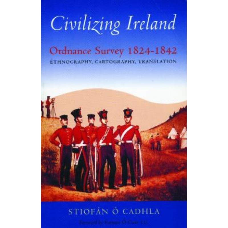
Between 1824 and 1842, Ireland was subjected to one of the most intense, scientifically advanced cartographic projects ever undertaken: the first six-inch Ordnance Survey. Civilizing Ireland: Ordnance Survey 1824-1842 delivers a thorough, highly accurate evaluation of this monumental imperial enterprise, looking deeply past simple map-making to examine its profound political and cultural motivations.
The text guides readers systematically through the operations of the survey, detailing how military engineers, linguists like John O’Donovan, and administrators like Thomas Larcom documented regional antiquities, evaluated soil values, and anglicized thousands of traditional Gaelic townland names. Written with direct clarity, the authors analyze the immense conflict between imperial data collection and local memory. It stands as a landmark reference cornerstone for historical geographers, cartographic scholars, and advanced reference libraries.
Critical frameworks evaluated within this study:
Cartographic Control Mechanics: Explores how precise scientific triangulation and measurement served as vital tools for imperial administration and tax reform.
The Name Books Legacy: Details the complex, controversial processes used to translate, record, and alter traditional Irish toponymy.
Premium Archival Materials: Richly annotated with original survey correspondence, early map sheets, and demographic field notebooks.





Reviews
There are no reviews yet.